Yarrawonga Aerodrome Information Package
1. General Information
- ICAO Code: YYWG
- Location: Yarrawonga, Victoria, Australia
- Coordinates: 36°01’07″S 146°01’08″E
- Elevation: 424 ft (129 m) AMSL
- Time Zone: AEST (UTC +10:00) / AEDT (UTC +11:00 during daylight saving)
2. Operational Information
- Aerodrome Operator: Moira Shire Council
- Contact: +61 3 5871 9222 (Council Office)
- ATIS/AWIS: Not Available
- Operating Hours: Uncontrolled, available 24/7
- Lighting: Available – PAL on CTAF frequency
- CTAF Frequency: 126.7 MHz
- Airspace Classification: Class G
- Nearby Controlled Airspace: Mildura CTA, Avalon CTA, and Melbourne CTA (refer to ERSA & VTC for details)
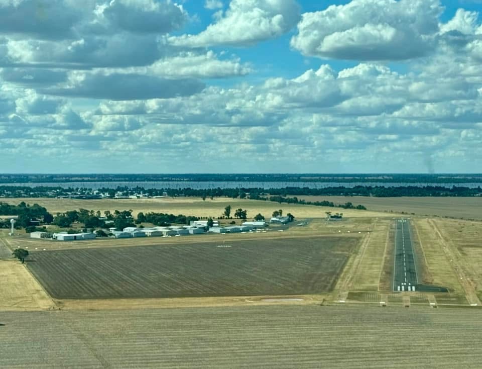
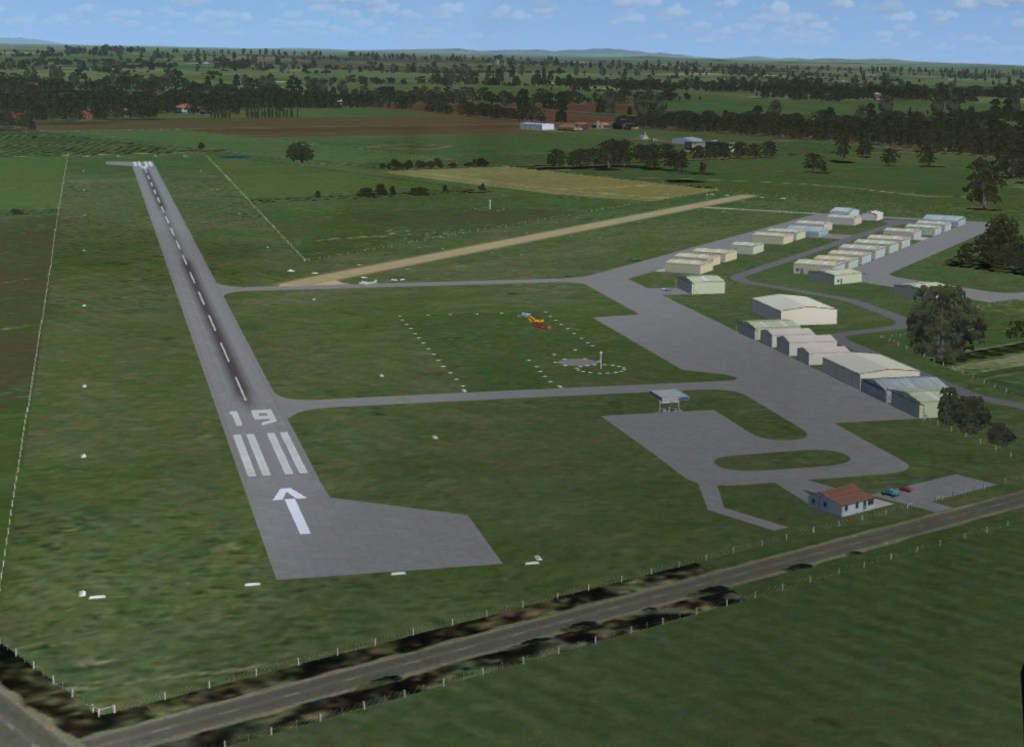
3. Runway Information
| Runway | Length | Width | Surface | Lighting |
|---|---|---|---|---|
| 01/19 | 1,143m | 30m | Asphalt | PAL Available |
| 05/23 | 850m | 18m | Grass | Not Available |
- Declared Distances: Refer to ERSA
- Runway Strength (PCN): Available in ERSA
- Taxiways & Apron: Asphalt and grass, with designated parking areas
4. Arrival & Departure Procedures
- Circuit Altitude: 1,400 ft AMSL
- Inbound Traffic: Broadcast intentions on CTAF 126.7 MHz within 10NM
- Joining Circuit: Standard overhead joining procedures at 1,900 ft AMSL
- Departing Procedures: Climb to 1,900 ft AMSL before leaving the circuit
- Noise Abatement: Avoid overflying residential areas to the southeast
- Recommended Reporting Points:
- Lake Mulwala: (NW of aerodrome)
- Yarrawonga Town: (SE of aerodrome)
5. Ground Facilities & Services
- Fuel Availability: Avgas 100LL (Self-service, call-out available)
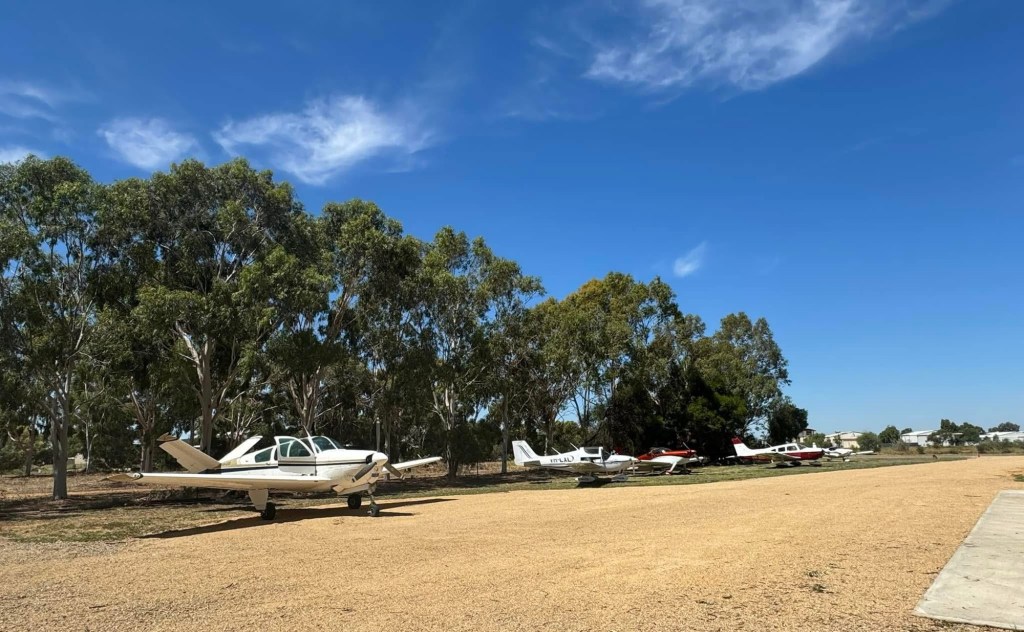
- Aircraft Parking: Apron and tie-down areas available
- Maintenance Services: Limited; contact local operators
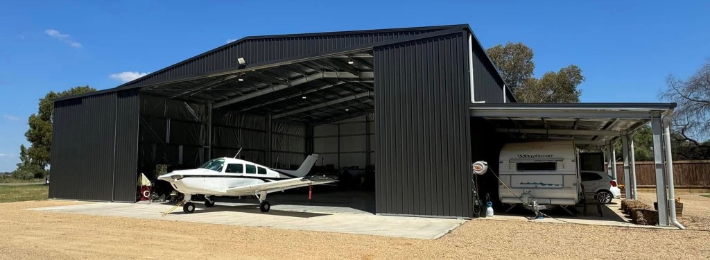
- Hangarage: Available on request
- Fire & Emergency Services: Local emergency response (000)
6. Weather & NOTAMs
- Local Weather Station: Bureau of Meteorology (BoM) – Check METAR/TAF
- Windsocks: Located midfield near runway intersections
- NOTAMs: Check NAIPS or Airservices Australia briefing system before flight
7. Nearby Navigation Aids & Airspace Considerations
- VOR/DME: Albury (ALB) – 38NM NE
- NDB: Shepparton (SPT) – 50NM SW
- Controlled Airspace Boundaries: Check current VNC and ERSA for updates
8. Local Procedures & Considerations
- Bird & Wildlife Hazard: Moderate, caution advised, especially near dawn/dusk
- Special Event Operations: Occasional aerobatic and ultralight activity
- Preferred Runways: RWY 19 for prevailing winds
- Local Flying Restrictions: Avoid low-level flying over Yarrawonga township
9. Emergency Procedures
- Emergency Frequency: 121.5 MHz
- Nearest Hospital: Yarrawonga Health (10 min drive)
- Local Emergency Services:
- Police: 000
- Fire: 000
- Ambulance: 000
- Alternate Aerodromes:
- Tocumwal (YTWL): 15NM W
- Wangaratta (YWGT): 25NM S
10. Additional Contacts
- CASA & Airservices Australia: www.casa.gov.au / www.airservicesaustralia.com
- Local Operators & Flight Schools:
- P&M Aviation Australia Training
- Chief Flying Instructor: Peter McLean
- Location: Hangar 19, 31–33 John Duigan Drive, Yarrawonga Aerodrome, Yarrawonga VIC 3730
- Contact: +61 415 406 413
- Email: pm@pmaviation.com.au
- Website: www.pmaviation.com.au
- Jarden Aviation
- Chief Flying Instructor: Jack Jarden
- Location: Yarrawonga Aerodrome, approximately 2.5 km southeast of Yarrawonga Township
- Operating Hours: Wednesday to Sunday, 9 am to 5 pm, or by appointment
- Contact: Visit Website
Disclaimer: Information is subject to change. Pilots must verify details through official sources such as ERSA, NOTAMs, and relevant flight briefing services before flight.
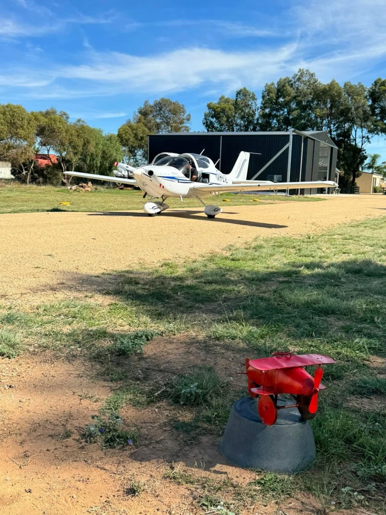
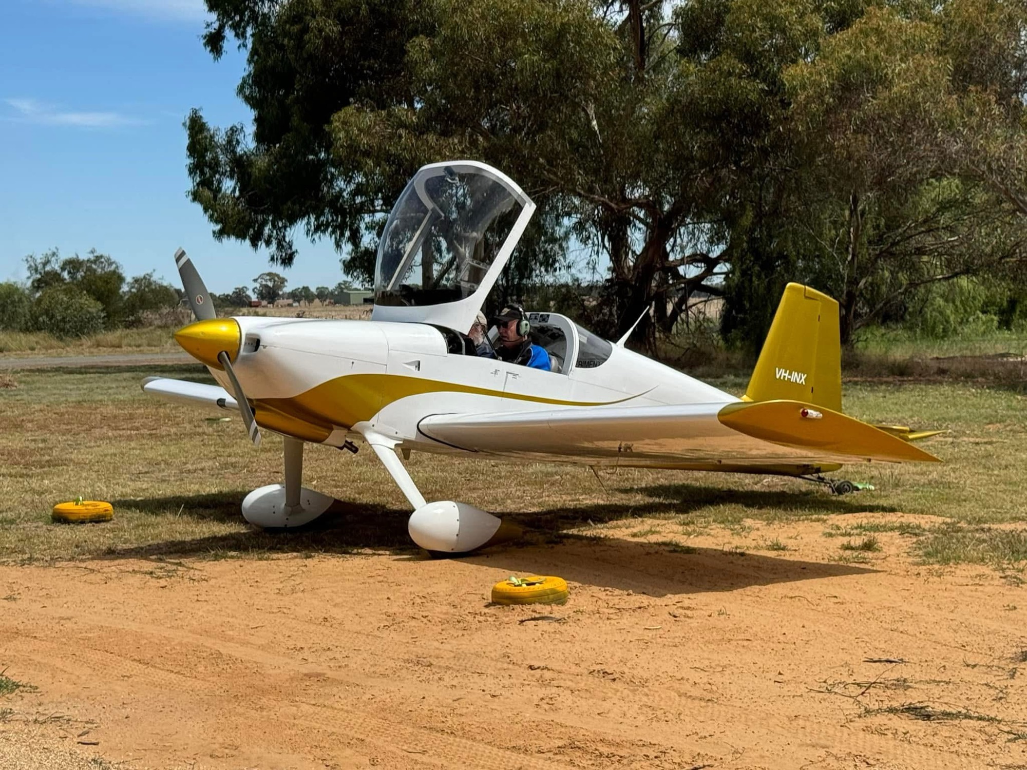
TAXI TO THE DOOR
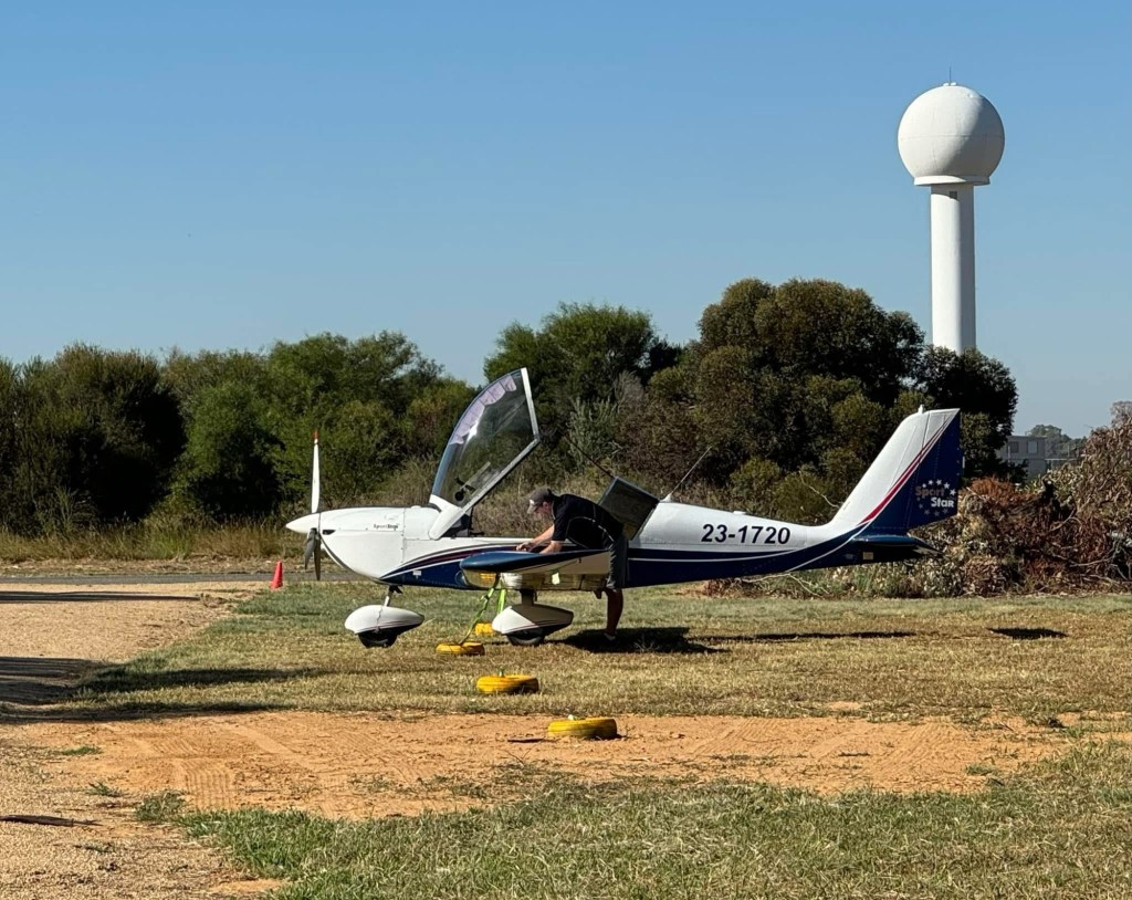
TIE DOWN
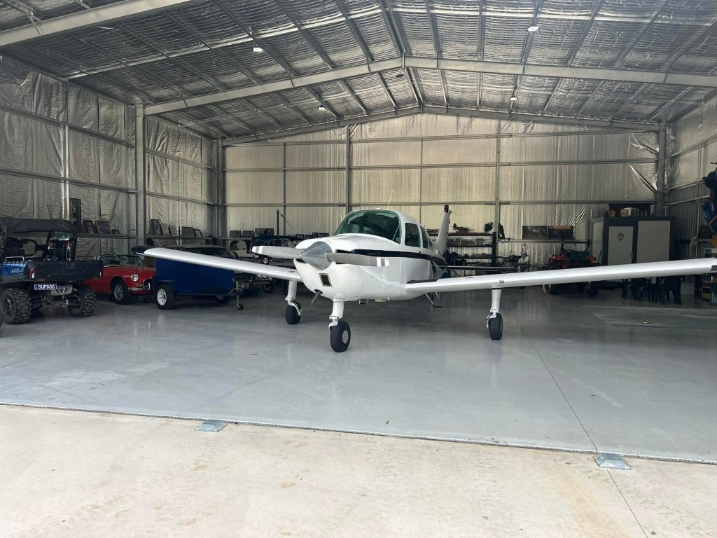
PARK IN HANGAR
FLY IN – FLY OUT

FLY IN
TIE DOWN
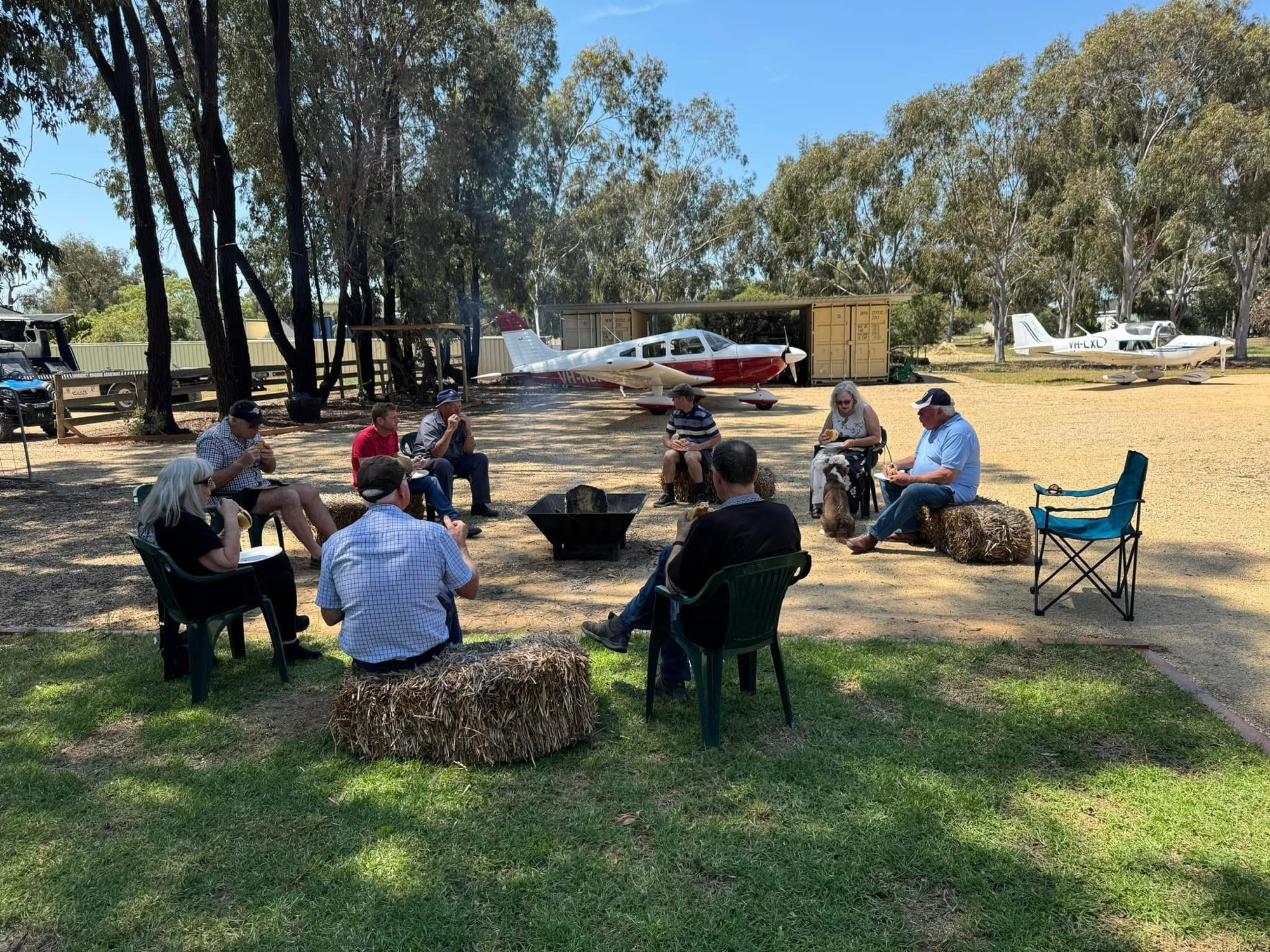
HANG OUT BY THE FIRE

FLY OUT
FLYING CLUB
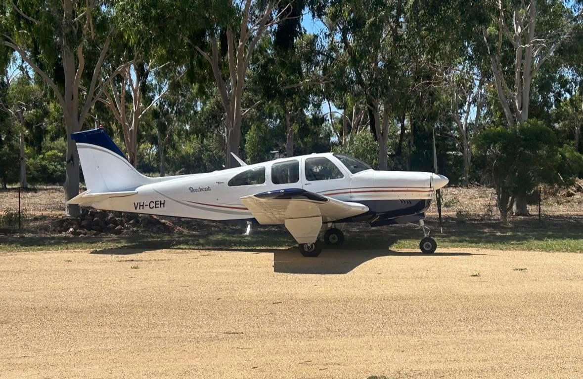
FLYING CLUB VISIT
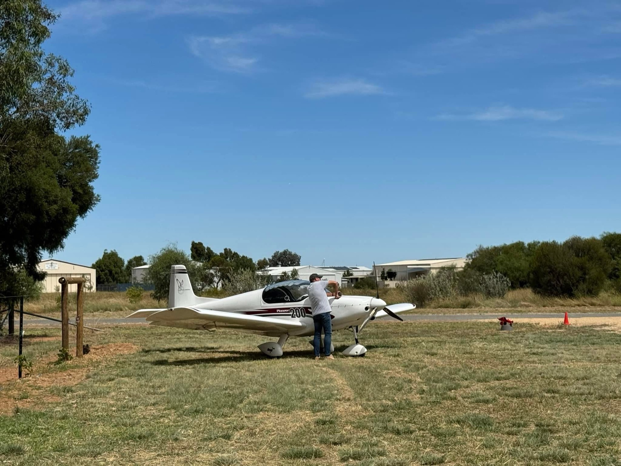
FLYING CLUB VISIT
FLYING CLUB VISIT
FLYING CLUB VISIT
LET US KNOW IF YOUR FLYING CLUB WANTS TO COME VISIT TOO!
